History of Cook Township Westmoreland County, Pennsylvania
Click here to go to Wikipedia for more information!

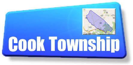
Map of Westmoreland County, Pennsylvania
highlighting Cook Township

Map of Pennsylvania highlighting
Westmoreland County
Cook Township is a township in Westmoreland County, Pennsylvania, United States.
It is a rural area located in Southwestern Pennsylvania, about 50 miles southeast of Pittsburgh and
5 miles south of Ligonier. Settled in the 1800's, it was primarily farm lands. It became a township
just over 150 years ago. The population was 2403 at the 2000 Census and many of these
people are descendants of those early settlers.
A significant portion of the land is occupied by Forbes State Forest and also by Linn Run State Park.
Geography
According to the United States Census Bureau, the township has a total area of 47.3 square miles
(122.6 km²), of which, 47.3 square miles (122.5 km²) of it is land and 0.04 square miles
(0.1 km²) of it (0.04%) is water.
The township contains the following boroughs and villages: Mansville, Pleasant Grove,
Rectors Mill, Stahlstown, and Weaver Mill.
Office Contact Information:
Supervisors' Telephone Numbers:
Marty Stahl: 724-516-4705 ---- Luke Grimm: 724-331-9259 ----- Jerry Lenhart: 724-953-9580
Secretary: Debbie Rhodes: 724-593-7471 Office Hours: Monday - Thursday - 7:30am to 5:30pm
Monthly Meeting Information:
Supervisors' Monthly Meeting Day and Time: The 1st Wednesday of each month at 7:00pm, at the Cook Township Municipal Building, located at 1716 State Route 711, Stahlstown, Pennsylvania.
Various Permits are available at the Municipal Office.
Community Organizations

Chestnut Ridge Volunteer Fire Company
CRVFC Calendar of Events on Facebook

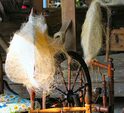
Visit Our Famous Stahlstown Flax Scutching Festival: www.FlaxScutching.org

Be sure to visit our friends at the Chestnut Ridge Historical Society located in the Community Center! www.ChestnutRidgeHistoricalSociety.org
